Climate
The climate is moderate in the National Park,summers are warm and winters are not so severe.The clemency of the winter is due to a distinct thermalinversion. In the foothills the average temperature ofthe coldest month (January) –7.4ºC, and the warmest(July) +23ºC. The length of the frost-free period is 181days, annual precipitation is 560 mm.
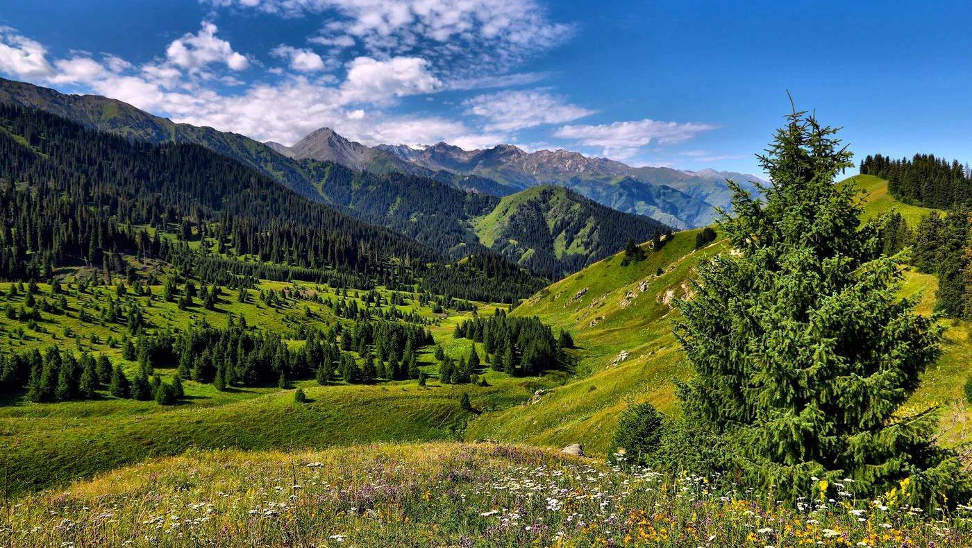
In general, the climate of the National Park is favorable for the existence of the nature ecosystem, flora and fauna of the mountains, allows developing a variety of recreational activities, both summer and winter.
Topography
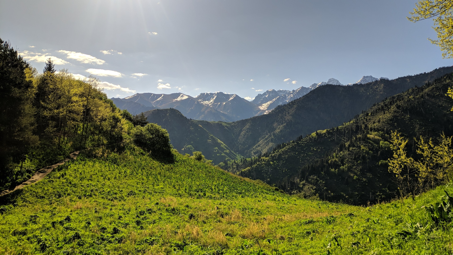
The territory of the park from the foothills to themountains peaks has a layered structure. At the top layer of the mountainsthere are abrupt, high and inaccessible tops, called peaks(Talgar Peak, the Peak of the Constitution, the 25thanniversary of Kazakhstan Peak, Almaty Peak, PioneerPeak, and others). There are a lot of abrupt, steep and
rocky slopes, deep valleys and vast areas of snow.
Mountains of the National Park, as well as the entire Zailiyskiy Alatau, are the mountains of young age that were formed relatively recently. Scientists have studied their structure and named the rocks from which they are composed. In the highlands cliffs are represented by Paleozoic rocks: granitoids, porphyries, quartzite, sandstone and limestone. Midlands are represented by rocks of the Ordovician and Carboniferous age. The bottoms of the valleys are covered with alluvial-proluvial deposits. The lower foothill level starting from the surface is composed by Middle Quaternary loess loams, with a capacity of up to 30-40 m, deposited on light aggregations of boulders and pebble stones.
Hydrology
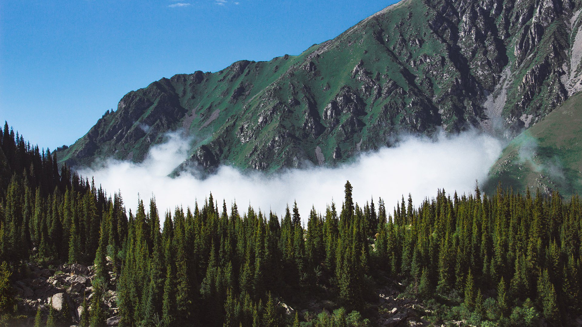
Numerous rivers and lakes are the integral beautycomponent of the National Park. Mountain riversand lakes, combined with the mountain air form a scenicview of the park and attract many tourists and visitors.Lakes and rivers preserve their pristine appearancedue to functioning of the National Park and play animportant role in water supply of settlements.
By the nature of supply and location of their heads, the rivers of the National Park can be divided into three types: highland glacial, midland and lowland. The largest rivers are the rivers of the first type: Shamalgan, Kaskelen, Aksay, Big Almaty, Talgar, Esik, and Turgen. Glaciers feed these rivers, which are deep, because many small mountain rivers feed them. Midland rivers, whose heads are located at a height lower than 3,000 meters above sea level, are fed by atmospheric precipitation and groundwater. These are small mountain rivers which are 15-20 km long with steep drops channel (rapids), and the stream current, among them are the Kyrgauyldy and Koturbulak rivers.
The third type includes majority of small seasonal rivers starting in the lowlands, where water appears in the spring, but during the summer the rivers are dried out. There are lakes of glacial, moraine, moraine-dammed origin and the largest of them – are of the landslide-tectonic origin. Size of the lakes varies from 100 to 1500 meters in diameter.